1
/
of
1
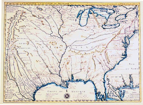
Colonial America 1718 Map
Colonial America 1718 Map
Regular price
$25.95 USD
Regular price
Sale price
$25.95 USD
Unit price
/
per
Shipping calculated at checkout.
Couldn't load pickup availability
15 1/2" x 20 1/2".
Guillaume de L'Isle's "Louisane" is recognized by all historians of cartography as one of the most important maps of America. It was the first to use Texas as a place-name, its depiction of the Mississippi valley is strikingly accurate, and it was the earliest map to show the routes of such early explorers as DeSoto, Cavelier, Tonty, and Denis. Color, Text Weight Paper.
Share


